Committed to promoting open data, data governance,
and data-driven decision making in Lebanon.
What We Do
Data Sharing
We provide NGOs with tools to improve data collection, an easy-to-use database that they control to host their data and publish it on our maps - ensuring that personal & sensitive data are available only upon permission.
Mapping
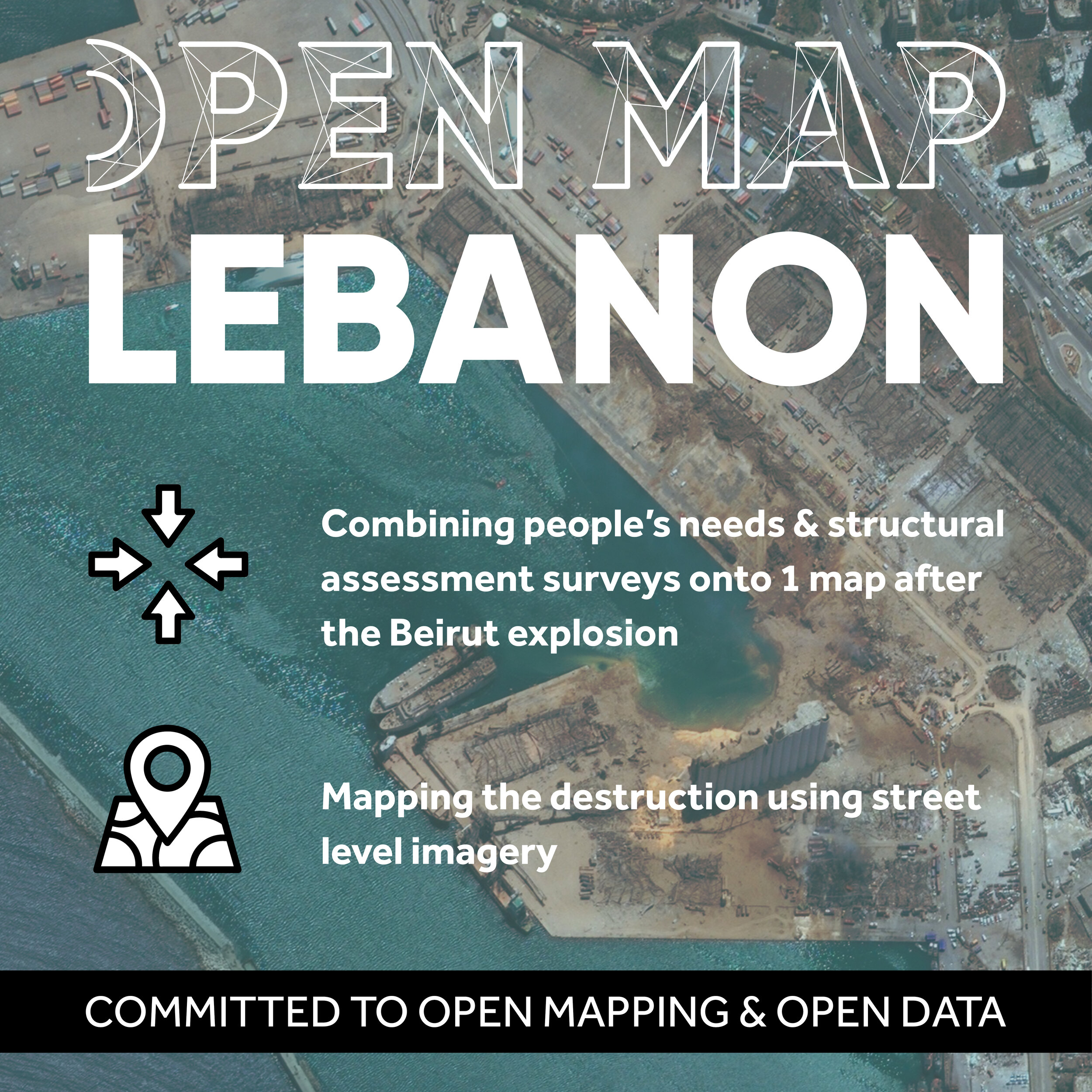
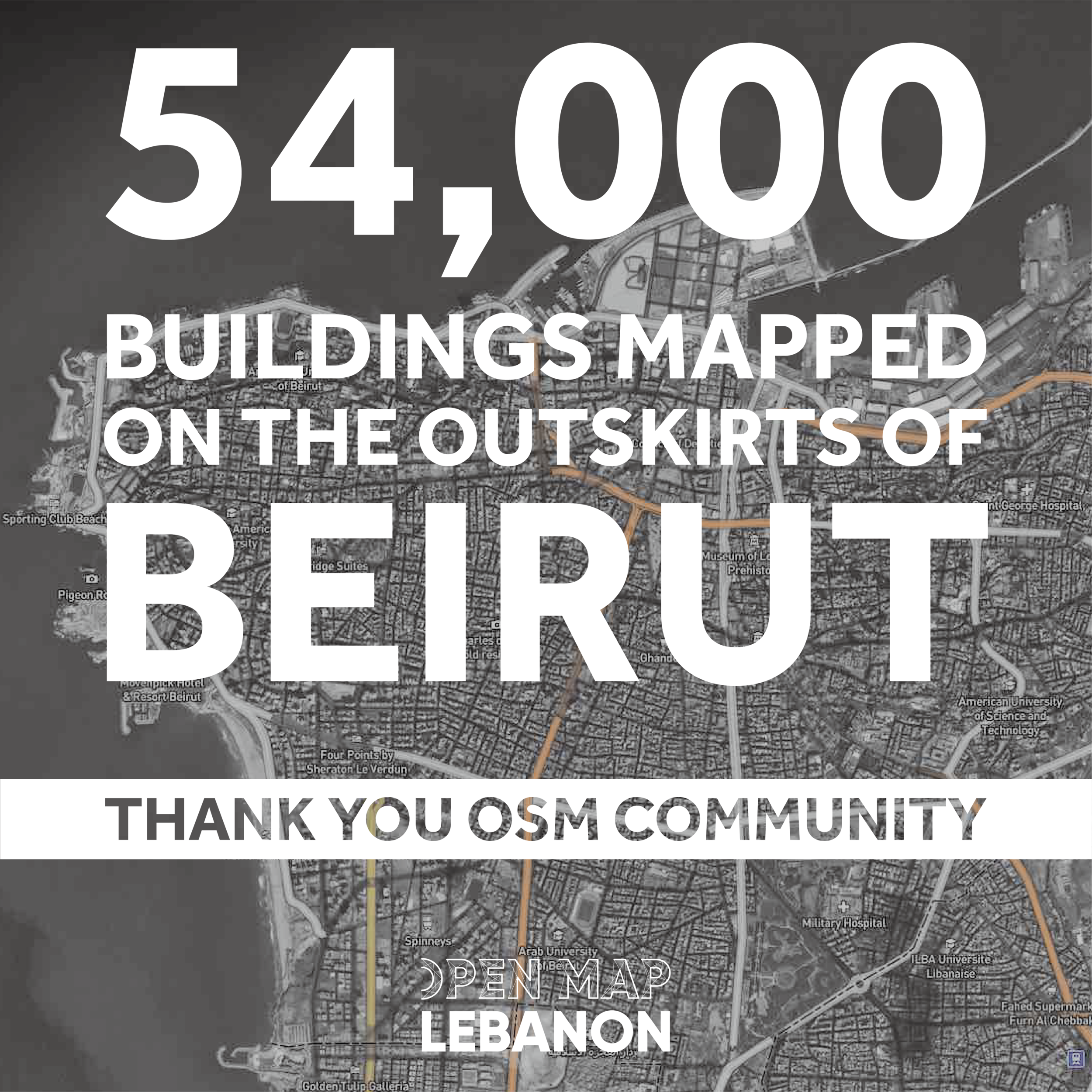
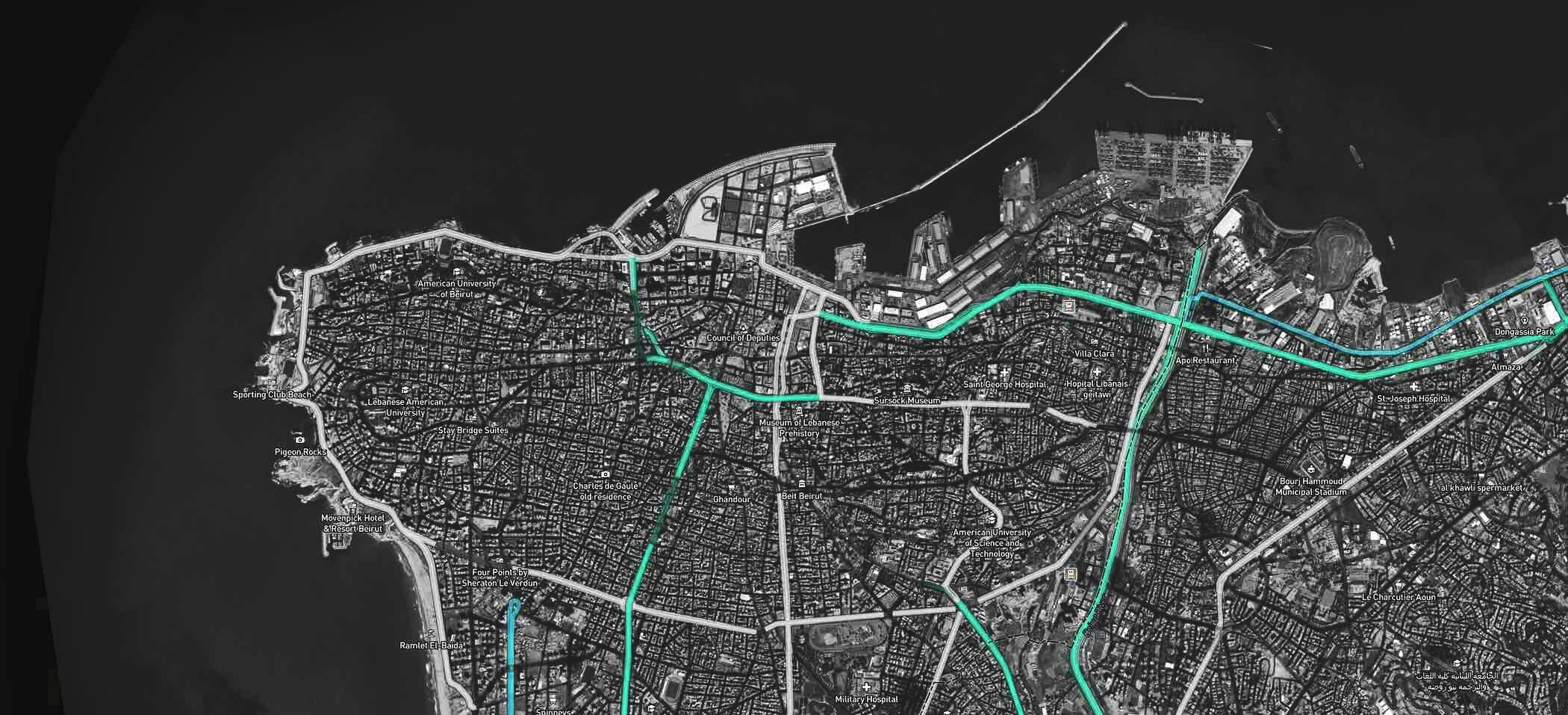
We launched public maps revealing where assessments have been made and compiling geolocated images & 360 degree capture of streets in Beirut.
Drone Imagery & 3D Model
We are collaborating with a team of experts working on deploying drone solutions & building an accessible 3D model of Beirut.
Data Science
We set up a workgroup with data scientists & academics in Lebanon, Europe & the US to publish more useful & insightful reports.
Top Projects
Beirut Recovery Map
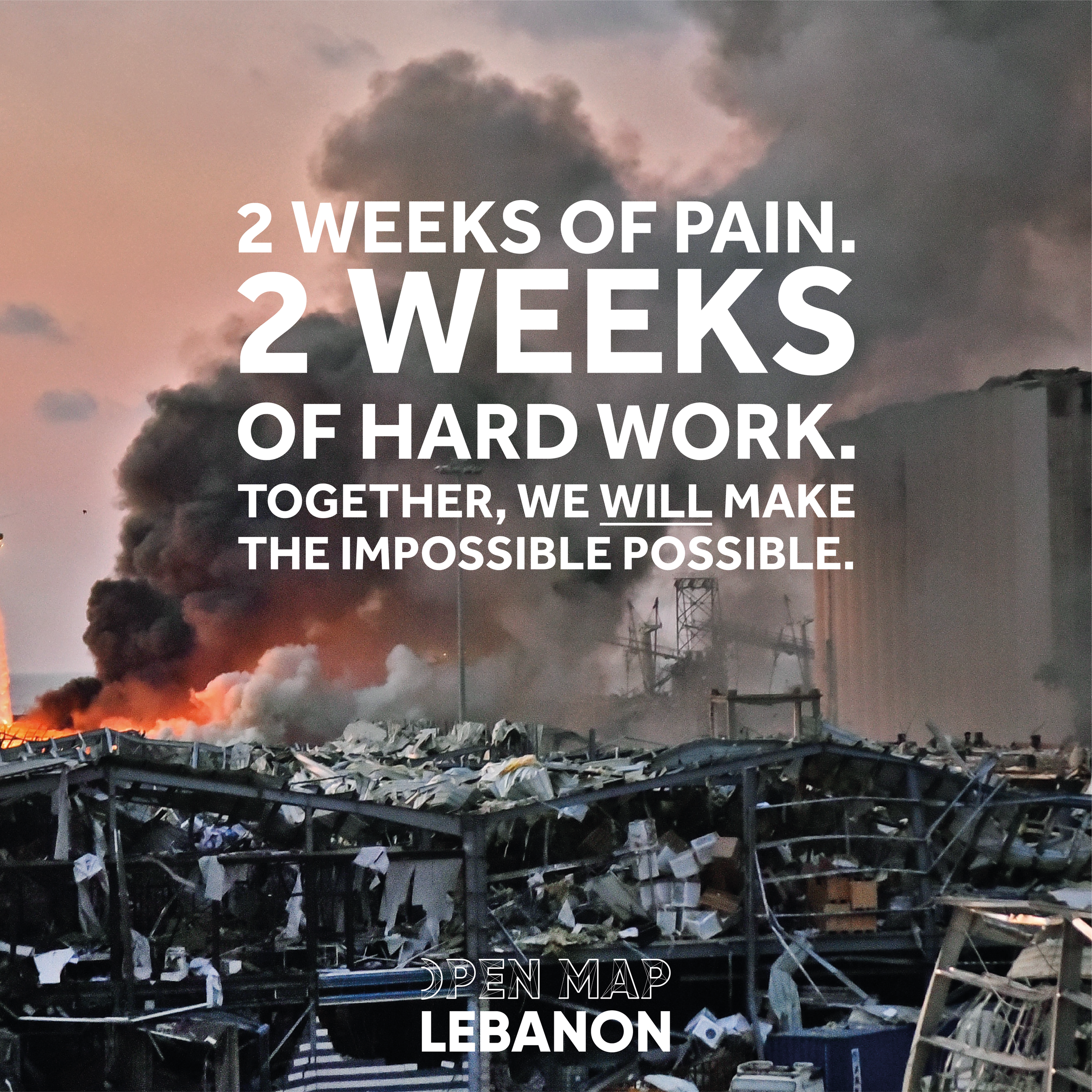
The Beirut Recovery Map illustrates the damage caused by the August 4th explosion and will chart the recovery of the city.
This ArcGIS Web Experience and its contents, including all the data, mapping, and analysis, copyright 2020 Center for Research Computing's Spatial Studies Lab - SSL, all rights reserved, is provided to the public strictly for educational and academic research purposes.
Created in collaboration with RICE University’s Spatial Studies Lab, the New Levant Initiative, and the American University of Beirut’s Beirut Urban Lab.
COVID-19 in Lebanon
Lebanon has been using incorrect population data for its COVID-19 lockdown. The total population figure used by the government is 10.6 million, which is 50–75% higher than reality. This means that COVID risks are much higher than reported.
Interested in reading the full article?
Who We Work With
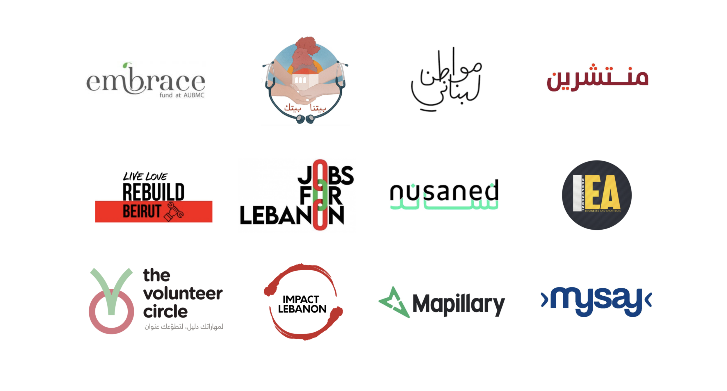
We are joining forces with the following associations, organisations & tools to collect data about the damage.
Contact
If you’d like to contribute your data or have any questions, please fill
the form or send us an email, and we’ll get in touch with you within 24 hours.
